01Drone Surveys
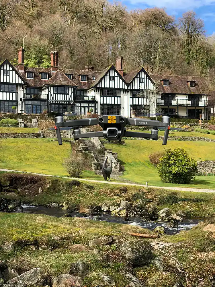
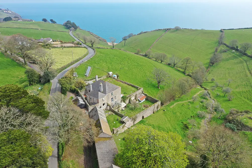
A drone survey uses aerial imagery to efficiently capture detailed information across buildings, roofs, land and larger sites. We can provide high-resolution aerial photography, detailed roof and building imagery, orthomosaic imagery, photogrammetric survey data and 3D survey data.
02Photogrammetric surveys and 3D modelling
Our experienced, fully licenced UAV pilots capture drone-generated images and use cloud-based photogrammetry platforms to process high-quality orthomosaic maps and 3D models.
03Measured Building Surveys
From our highly detailed measured building surveys we produce clearly presented, highly detailed and accurate plans, elevations and sections of all types of buildings.
Read more04Topographic surveys
Using a total station and the latest scanning equipment we can provide fully levelled topographic/land surveys to include walls, steps, trees and vegetation, adjacent roads, neighbouring building and any significant features.
Read more053D Laser Scanning
3D scanning is the process of capturing digital information about the shape, construction and condition of a building or object, obtaining large amounts of detail very quickly.